The BC Wildfire Service has updated information on the Mount Evans fire, burning approximately 29 km southwest of Kimberley.
As of Thursday evening, August 11, 2022, the fire was estimate at 33.5 hectares and was not threatening structures or infrastructure.
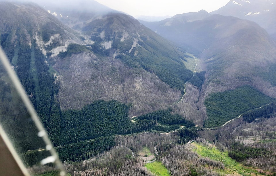
BC Wildfire Service have now developed a detailed response plan for the fire, after completing a reconnaissance flight.
“During aerial reconnaissance planning, response officers noted that while the fire is burning in steep terrain at high elevation that is unsafe for ground crews to work on directly, it is surrounded by natural fuel breaks, a cliff face and a scree slope, it is also blocked by a burn scar from a previous fire,” BC Wildfire noted in a social media update.
“While the ground is unsafe for crews to be actioning at this time, residents in the town of Kimberley and surrounding areas may notice aviation resources in the area for the duration of this fire as response officers will continue to monitor the fire from helicopters and airtankers may also be reinforcing natural fuel breaks with retardant as requested.”
carolyn.grant@kimberleybulletin.com
Like us on Facebook and follow us on Twitter