Everything has basically returned to normal in the Chemainus region. By normal, we mean the weather we’re more accustomed to - drizzling rain and grey skies.
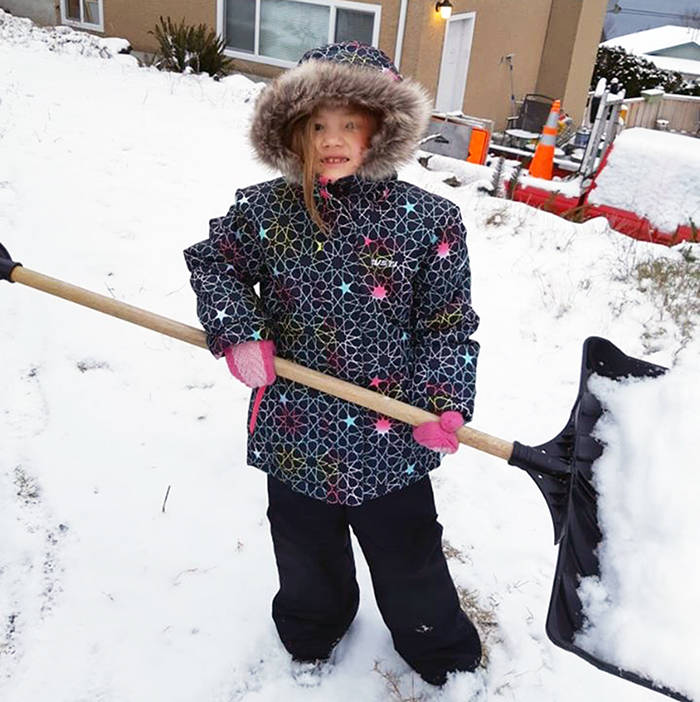
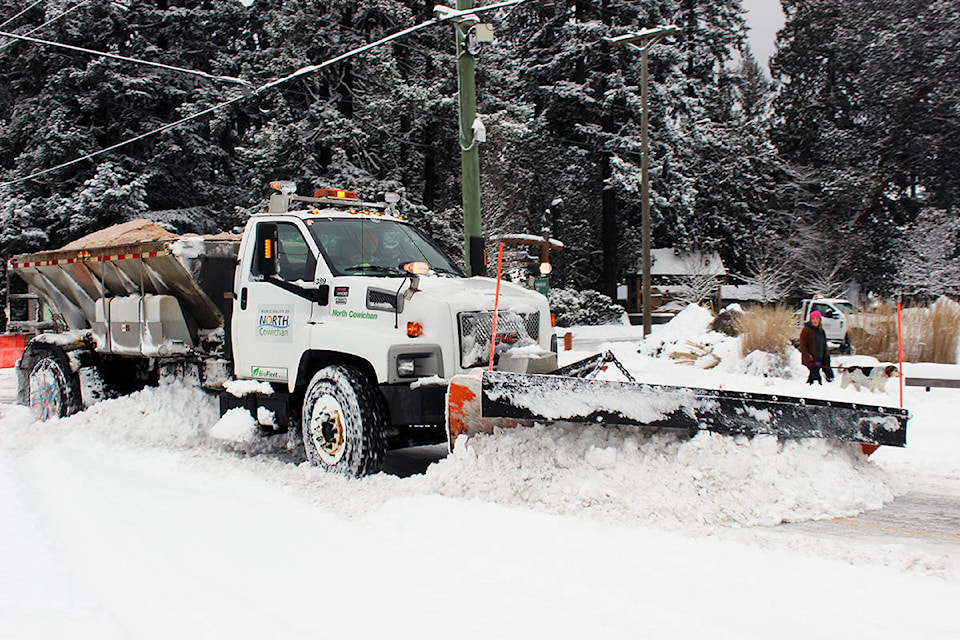
Last week’s winter wallop of snow was a departure from the norm. Those conditions come along every once in a while and residents were forced to make a big adjustmentto get around or stay put in their homes.
Schools were closed on three of five weekdays. It was a daily occurrence to see how much snow each advancing system would bring and the effects of colder temperatures.
We’re fortunate in Chemainus to have our own resident weather expert, Chris Carss, who keeps meticulous records for Environment Canada, so we consulted him for an assessment of what transpired and the corresponding data for public interest.
“The two snow events that hit the Chemainus Valley this past week were the products of three moisture-laden weather systems that rolled in off the Pacific Ocean and collided with cold Arctic air from the B.C. Mainland right over Vancouver Island,” he explained.
The first dump of snow began overnight on Sunday, Jan. 12 and into the early-morning hours of Monday, Jan. 13.
“The first two weather systems were partly joined so there was no real break in the weather between them, only an easing off of the snowfall on the 14th followed by heavier snowfall returning on the 15th,” Carss pointed out. “Winds gusting to 40 kilometres per hour occurred Jan. 12, but there were no wind events after that. Temperatures held steady near -4 Celsius for about two days, then rose slightly to -2 C on the 15th.”
Here’s a diary-type record from Carss of what transpired during the week:
Monday, Jan. 13: Snowfall was 3.2 centimetres with the first system.
Tuesday, Jan. 14: Slackened off to 1.2 cm of new snow in between the two systems. Depth of snow on the ground (S.O.G.) was 4 cm by late afternoon.
Wednesday, Jan. 15: Brought a larger amount of snow, 5.2 cm, with the second system. S.O.G. was 7 cm. by late afternoon.
Thursday, Jan. 16: Gave us one day of sunshine before the snow returned which allowed the daytime temperature to rise to 2 C. The third weather system arrived Jan 17 during the evening.
Friday, Jan 17: Snowfall was 15.4 cm. Depth of snow on the ground peaked at 32 cm late afternoon, with the temperature up slightly to 3 C.
Saturday, Jan 18: Another 15.4 cm of snow fell, but was mixed with rain that melted some of the snow cover causing the S.O.G. to begin declining. The temperature rose to 4 C which caused the precipitation to change to rain.
No further outflows of Arctic air are expected for at least the next two weeks. But don’t think that means this could be the end of the winter white stuff just yet. All we have to do is go back to last year when the Chemainus Valley endured a very snowy February.
In the meantime, we’ll have a 2019 weather review from Carss in next week’s edition.