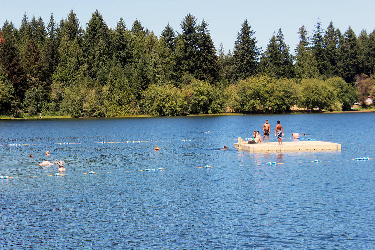
It’s a big fat zero all across the board for rainfall in July.
“For the first time ever, an entire month has gone by with absolutely no rain or showers, not just in the Chemainus Valley, but along the entire west coast of North America,” noted Chris Carss, a volunteer weather observer for Environment Canada at his Chemainus home.
“And it wasn’t just dry this past July,” he added. “It’s been totally dry since early June, the last rainfall in Chemainus having been officially recorded on the ninth of that month. The drought has therefore been with us for no less than eight weeks due to a series of hot high pressure areas that have passed across the west coast, including the infamous ‘heat dome’ that pushed Island temperatures past an officially obsolete but still notable 100 Fahrenheit barrier, in many cases for the first time near the end of June. Although the full force of the heat dome didn’t last into July, slightly less hot weather persisted for enough of the month to keep temperatures about 2 1/2 Celsius above normal for July as whole.”
Related story: Wet start to June quickly dries up and turns into a heat wave
For Keith Rush, who records precipitation stats for Thetis Island at his Foster Point Road residence, it was the first zero precipitation month since July of 2013.
“Well the 14 drops last Saturday morning did not wet the gauge, however I did get a trace with the shower Sunday,” he noted as the calendar flipped from July to August. “I love it when nature recognizes the importance of a month end cut-off.”
The normal rainfall for July is 27.5 millimetres in Chemainus and 10.7 mm on Thetis. July of 2020 was above that mark on Thetis with 12.6 mm.
The mean maximum temperature in Chemainus of 26.2 Celsius was well above the normal of 23.7 C. The mean minimum also came out higher at 15.8 C compared to the normal of 13.3 C.
The extreme maximum of 32.0 C occurred on July 30, with the extreme minimum still in the double digits at 12.0 C on July 22.
Only one day was cloudy and dry, with the other 30 all falling in the days of mostly or partly sunny category. Normally, there’s just 19.
We’re already well into August and more of the same conditions are prevailing.
“Slightly more normal conditions finally returned in early August, but another dry high will move back in for the rest of the month bringing above normal temperatures once again,” added Carss. “Some widely scattered showers are expected to occasionally return this August, but the frequency and amounts of this sporadic rainfall will only be about half or less than the seasonal normal.”