January 2021 offered something for every taste with a succession of contrasting weather events that each took a turn at affecting the weather on south-central Vancouver Island.
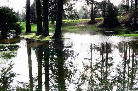
“It started with mild temperatures and a series of intermittent but heavy rainstorms that hit during the first 12 days of the month,” noted Chris Carss, a volunteer weather recorder/observer for Environment Canada at his Chemainus home. “It culminated with a Pineapple Express on the 12th day which provided the Chemainus Valley with its peak maximum temperatures for January. This was followed by a strong gale in the early hours of the 13th day that caused damage to some structures, including our highly unprotected hydro lines.
“Next up was a stretch of mostly sunny conditions which were seen over a 10-day period starting on the 13th day of January, picking up right where the rainstorms and strong winds left off. It ended on the 23rd after a clear night that brought us our coldest temperatures of the month along with a heavy frost that lasted into the afternoon in many shady areas of the Valley.”
With the arrival of the cold weather, Carss added, a four-day period of occasional light snow settled in from the 24th to 27th inclusive. The last few days of January saw a return to the mild temperatures that started the month, but the rainfalls that resumed were much lighter in intensity.
Temperatures averaged about a degree above normal, with a mean maximum of 7.5 Celsius (normal 6.8 C) and mean minimum of 3.1 C (normal 2.3 C). The extreme maximum of 12.0 C occurred on Jan. 12 and the extreme minimum for the month of -1.0 C on the 23rd.
Combined precipitation was about 60 millimetres above the historical average. Total rainfall amounted to 310.4 mm (normal 231.1 mm), total snowfall 2.8 centimetres (normal 21.0 cm) and total precipitation 313.2 mm (normal 252.1 mm).
The total number of sunny or partly sunny days fell right on normal at seven. Seventeen of the 24 mostly cloudy days produced precipitation, three below normal.
“Because of the mild conditions, most of the precipitation fell as rain which was was about 80 millimetres above normal, while the snowfall was only about one-eighth of the historical average,” Carss explained.
The mild but unsettled weather continued into the first few days of February. Carss expected the rest of the month to be mainly dry with near normal temperatures.
“The main exception is expected to be a 10-day period from about the 13th to the 23rd which will see intermittent rain occasionally mixed with wet snow,” he added.
Keith Rush recorded 227.5 mm of rain at his Foster Point Road residence on Thetis Island in January, “the third month in a row with more than 200 millimetres – a first for me,” he indicated.
Dave Greene registered 288 mm for January at the bottom of Lawrence Road.
The totals were still well below January 2020’s deluge of 379.7 mm. The average January on Thetis yields 176.2 mm.