For the first time in three years, an El Nino winter is expected across much of Canada this year.
El Niño is a meteorological event that affects surface waters in the eastern Pacific Ocean near Ecuador which become warmer than normal. As a result, the earth’s usual atmospheric circulation changes with the reversal of easterly trade winds.
This helps keep the colder waters deeper down in the ocean from rising to the surface and cooling the air above. For Vancouver Island, this means milder than usual weather after two years of exceptionally cold and snowy winters that gave us back-to-back white Christmases and late-arriving spring seasons. It seems likely that Christmas this year won’t be a three-peat of the previous two.
The last El Nino in early 2016 was actually more of a spring than winter event on Vancouver Island. The core winter months of December 2015 and January 2016 saw temperatures that were close to seasonal normals.
However, the pre-spring months of February and March saw an increase to about two degrees above normal, which is in the lower-moderate intensity range for an El Nino event. This trend continued into April and led straight into an early summer by May when daily maximum temperatures started pushing past 20C about a month early.
To find an El Nino that included January, it is necessary to go back to the previous year when a relatively weak manifestation of the event bumped the mean temperature up to about a degree above normal. Going back even farther in time, we see the winter of 2009-2010 was the last moderate El Nino that pushed temperatures during the winter and early- or pre-spring months to about two degrees above normal.
This year’s El Nino appears to be underway as of this month, with temperatures so far averaging about 1.5C above normal. This is more of a weak than moderate intensity event so far, and it remains to be seen what level of strength it may develop as we head into the core winter months that lie directly ahead of us.
There are some indications this year’s El Nino may peter out around mid-December, then regenerate in mid-February to bring us an early spring. However, if it holds and reaches at least moderate intensity, we can look forward to generally mild temperatures for the winter and pre-spring periods with plenty of rain, but little or no snow.
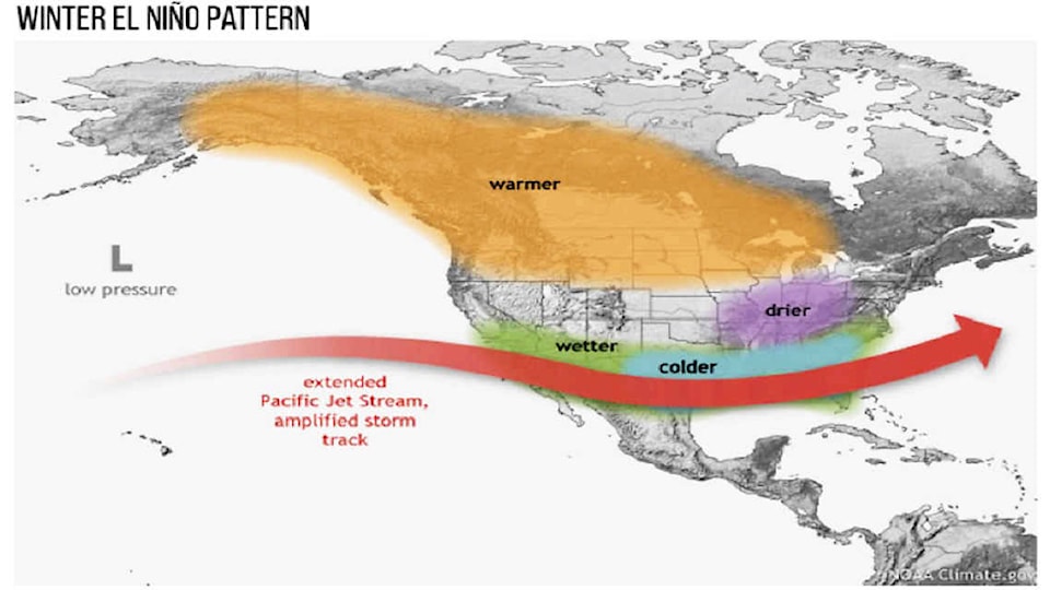
Instead of cool to cold storms originating from the Gulf of Alaska that we get most years, we may experience more storms originating from locations much farther south like Hawaii, the so-called ‘Pineapple Express’ events.
Rainfalls can sometimes be exceptionally heavy with El Nino, even by West Coast standards. There are areas within the Chemainus and Cowichan River flood plains that might end up under water at times this winter, as they have occasionally been in the past, prompting questions like Donald Trump’s infamous ‘Who’s boat is this boat?’ An interesting winter and pre-spring (floods and flowers) may lie ahead!
(Chris Carss is a Chemainus resident and a longtime weather observer/recorder).