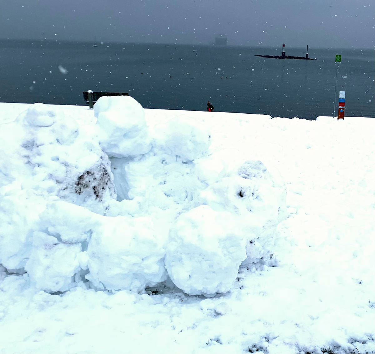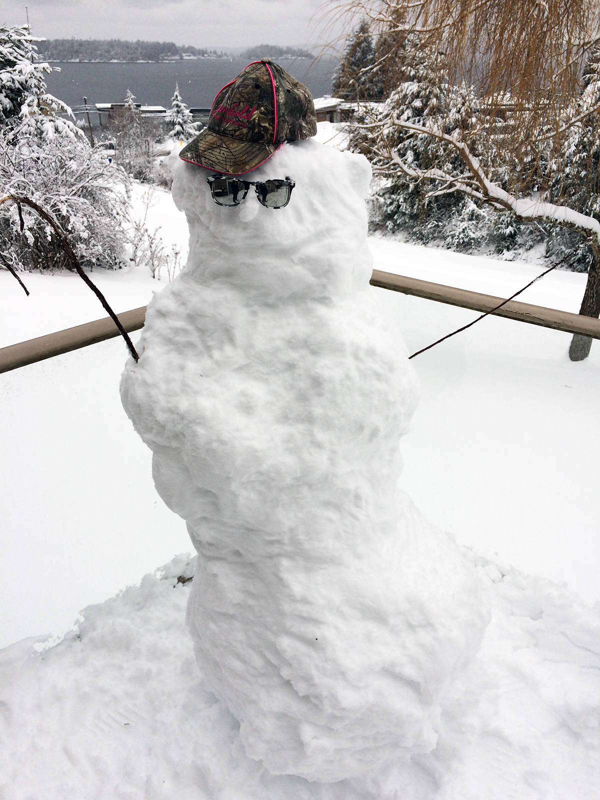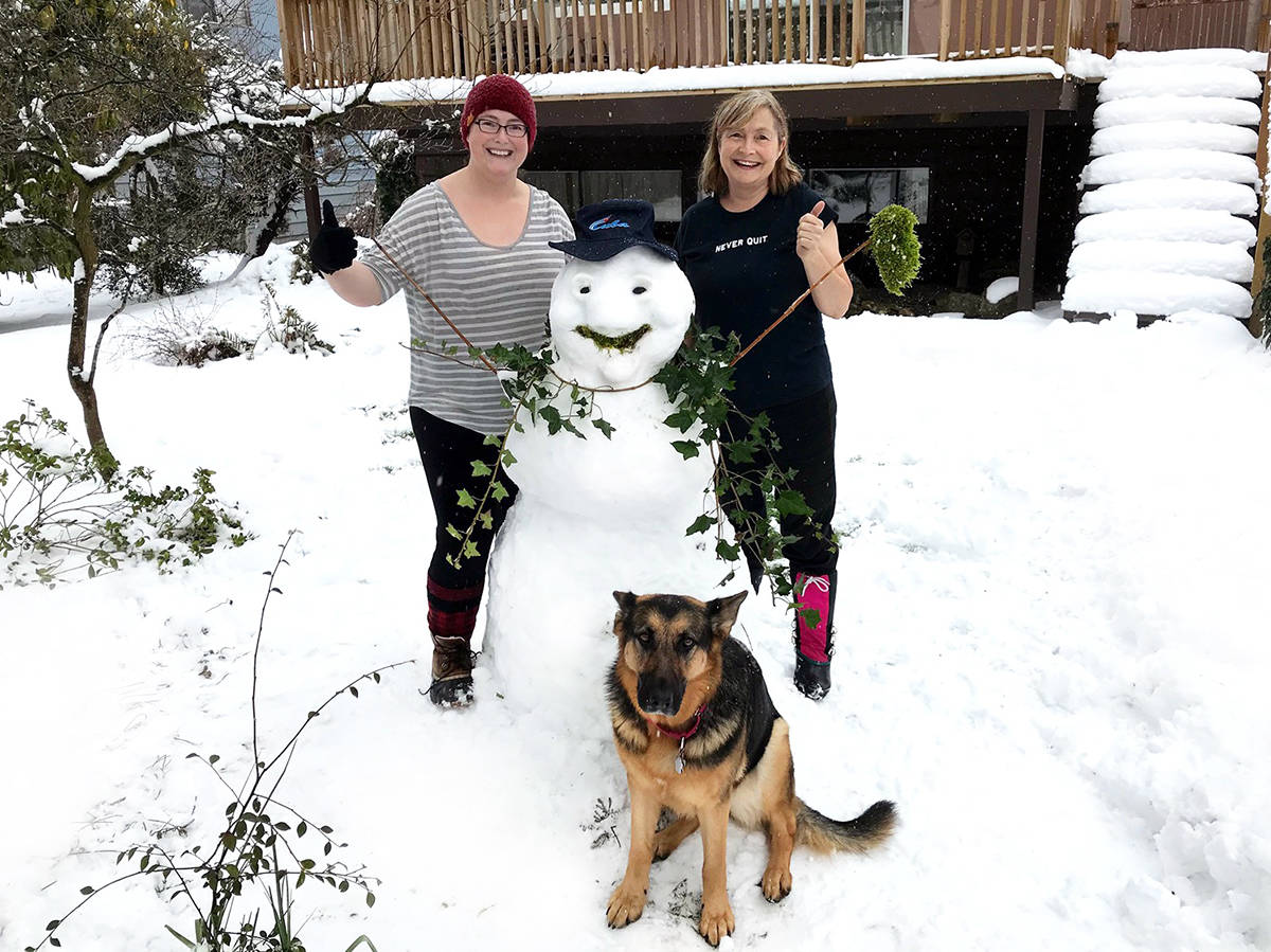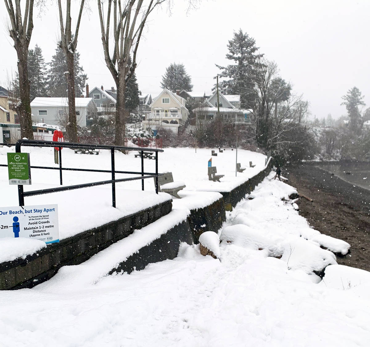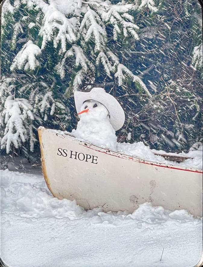
You never know when it’s going to snow on Vancouver Island.
Despite some previous forecasts that fizzled out earlier in February, the forecast for snow in the region heading into the Valentine’s Day and Family Day weekend proved correct.
An explanation of the heavy snowfalls is provided by Chris Carss, a volunteer weather observer/recorder for Environment Canada at his Chemainus home.
“Most storm systems that hit Vancouver Island during fall, winter and pre-spring are arriving from the Pacific Ocean in a mainly westerly large scale marine wind circulation that produces rain and mild temperatures,” he indicated. “However, when an arctic outflow circulation develops over the B.C. mainland, the surface winds reverse to an easterly circulation bringing below freezing temperatures to Vancouver Island from the frozen mainland.
“Meanwhile, the upper level winds continue to circulate from the west bringing the Pacific storms with them. The storms and the two wind circulations collide over our otherwise rainy island and the precipitation falls as snow as the storm systems are chilled by the outflow. Once the arctic outflow collapses after being overpowered by the opposing wind flow, the milder Pacific winds resume their westerly circulation and the precipitation changes back to rain. If we’re lucky, the clouds finally break up for a while, giving us some respite for a day or two before the next batch of storms move in from the Pacific Ocean.”
And that’s exactly what transpired with a break from the precipitation after the weekend.
Carss documented the precipitation amounts during his morning and afternoon readings, as he does on a daily basis.
By the start of the series of storms, he recorded 4.8 centimetres of snow on Saturday, Feb. 13 as of 4:15 a.m., with a maximum temperature of 0 Celsius and low of -2.0 C.
By 3:15 p.m. that day, Carss observed another 13.2 cm for a total of 18 cm of snow on the ground. The maximum temperature was 0.5 C and minimum -3.0 C.
For his 4:15 a.m. observation on Sunday, Feb. 14, Valentine’s Day, there was a further 0.4 cm of snow followed by 4.4 cm more up to 4 p.m., with a total of 21 cm on the ground. Temperatures during the day reached a high of 2.0 C and a low of -1.0C.
On Family Day Monday, Feb. 15, Carss recorded 2.6 cm of snow at 4:30 a.m., but also 5.2 millimetres of rain with 18 cm of snow remaining on the ground as conditions warmed slightly and precipitation started to change.
His 3:30 p.m. reading noted a further 0.4 cm of snow and 14 cm still on the ground, but an additional 5.0 mm of rain. The maximum temperature reached 4.5 C, with a low of 0.5 C.
The systems had ended as of Tuesday, with no further snow expected.