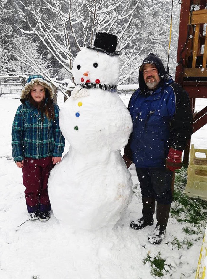
The Chemainus-Crofton area was one of the hardest hit spots from a winter wallop on the South Island during the last several days.
Temperatures dropped and a light snowfall started last Friday. After a brief break Saturday, the major system moved in Sunday afternoon and it kept snowing with only brief intervals for a break for the rest of the week. Schools, already on a short week with a scheduled day off Friday, were closed Monday and throughout the week.
Snow continued Tuesday and right up to 5:20 a.m. Wednesday.
Chemainus, Ladysmith and Nanaimo were the leaders of the snowpack, although all areas of the South Island received significant, record-breaking accumulations for February.
”The new accumulated snowfall since Feb. 10 is now 58 centimetres, plus the 11 cm two days earlier,” noted Chris Carss, Chemainus weather observer and recorder for Environment Canada. “The depth of snow on the ground this morning is now up to 55 cm. That last number might have been higher, given the amount of new snow we received over the past 24 hours, but (Tuesday’s) maximum got up to 0.5 Celsius making it just the second time in this week of storms that it got above freezing, if only barely.
“It was just enough to make the snow more damp and heavy which caused some compression if not any actual melting.”
So why did we get this massive snowstorm in mid-February after going through all of November, December and January with barely a trace of snow?
“The best explanation I can give is that the mild but weak El Nino ocean current that began last November and was originally expected to become stronger by this month, has in fact done the opposite and greatly weakened or maybe even collapsed altogether by now,” Carss pointed out. “This has allowed the cold Gulf of Alaska vortex to drop down to Vancouver Island and give us our third white February in a row, even without the colder La Nina ocean current that brought us the previous two.”
So here’s what happened as the Grinch stole pre-spring:
* The first major snowfall on Feb. 8 dumped 11 cm which only partly melted the next day.
* The second snowfall started Feb. 10 and continued with a few breaks until presstime. The total two-day additional snowfall was 45 cm by early Tuesday morning, leaving a total of 51 cm on the ground at presstime.
* The temperature in Chemainus during the five-day period of snowstorms ranged from 3C during the afternoon of Feb. 9, the only day it got above freezing, to -6C in the early hours of Feb. 10.
